Berkas:Europe location N-IRL2.png
Ukuran pratayang ini: 800 × 600 piksel. Resolusi lainnya: 320 × 240 piksel | 640 × 480 piksel | 1.024 × 768 piksel | 1.280 × 960 piksel | 1.600 × 1.200 piksel.
Ukuran asli (1.600 × 1.200 piksel, ukuran berkas: 772 KB, tipe MIME: image/png)
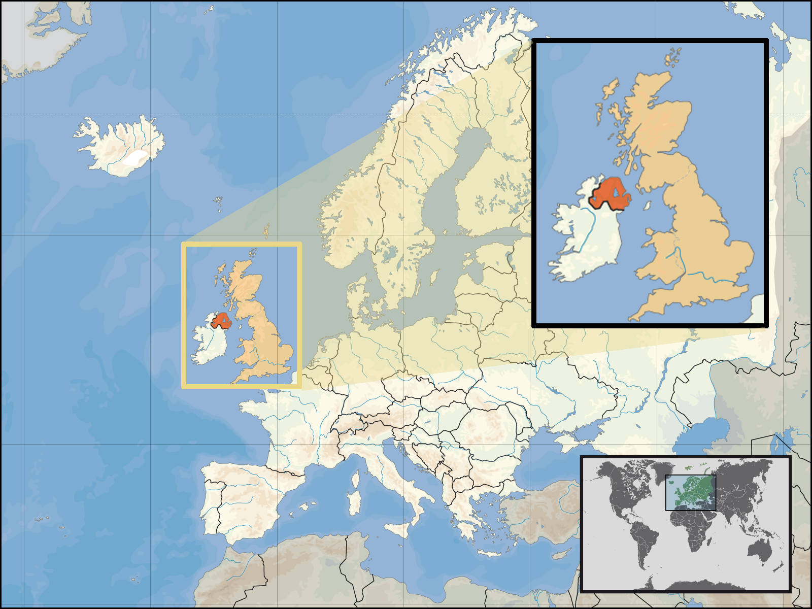
| Deskripsi | Location of Northern Ireland in the UK and Europe, on terrain map showing surface and underwater contour areas. | |||
| Tanggal | ||||
| Sumber | Derived from Wikimedia Commons image of original work forming part of the "Europe location" map series created by David Liuzzo: derived from Image:Europe_location_N-IRL.png. | |||
| Pembuat | uploaded by User:Kmusser (excerpt from User:David_Liuzzo) | |||
| Izin (Menggunakan kembali berkas ini) |
|
|||
| Versi lainnya |
|


Riwayat berkas
Klik pada tanggal/waktu untuk melihat berkas ini pada saat tersebut.
| Tanggal/Waktu | Miniatur | Dimensi | Pengguna | Komentar | |
|---|---|---|---|---|---|
| terkini | 29 September 2008 19.05 | | 1.600 × 1.200 (772 KB) | Kmusser | {{Information |Description= Location of Northern Ireland in the UK and Europe, on terrain map showing surface and underwater contour areas. |Source=Derived from Wikimedia Commons image of original work forming part of the "Europe location" map |
Penggunaan berkas
Halaman berikut menggunakan berkas ini:
Penggunaan berkas global
Wiki lain berikut menggunakan berkas ini:
- Penggunaan pada an.wikipedia.org
- Penggunaan pada az.wiktionary.org
- Penggunaan pada en.wikipedia.org
- Penggunaan pada eu.wiktionary.org
- Penggunaan pada fa.wikipedia.org
- Penggunaan pada fr.wikipedia.org
- Penggunaan pada gom.wikipedia.org
- Penggunaan pada gu.wikipedia.org
- Penggunaan pada gv.wikipedia.org
- Penggunaan pada kn.wikipedia.org
- Penggunaan pada ko.wikipedia.org
- Penggunaan pada ml.wikipedia.org
- Penggunaan pada nds-nl.wikipedia.org
- Penggunaan pada nov.wikipedia.org
- Penggunaan pada pl.wikipedia.org
- Penggunaan pada pl.wiktionary.org
- Penggunaan pada simple.wikipedia.org
- Penggunaan pada sr.wikinews.org
- Penggunaan pada tet.wikipedia.org
- Penggunaan pada th.wikipedia.org
- Penggunaan pada tpi.wikipedia.org
- Penggunaan pada tr.wiktionary.org
- Penggunaan pada war.wikipedia.org