Berkas:Strijen 1867.png

Ukuran asli (1.599 × 1.363 piksel, ukuran berkas: 289 KB, tipe MIME: image/png)
Ringkasan
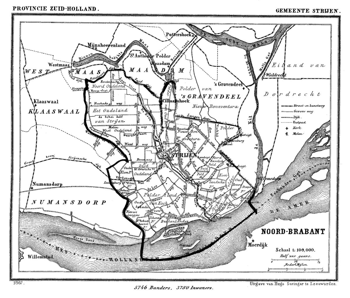
| Deskripsi | Historic map of Strijen, South Holland, the Netherlands |
| Tanggal | 1865 - 1870 |
| Sumber | Gemeente Atlas van Nederland (Municipal Atlas of the Netherlands) |
| Pembuat | J. Kuyper |
Lisensi
|
This work is in the public domain in its country of origin and other countries and areas where the copyright term is the author's life plus 70 years or fewer.
| |
| Berkas ini telah diidentifikasi bebas dari pembatasan menurut hukum hak cipta termasuk semua hak terkait dan relevan. | |
Riwayat berkas
Klik pada tanggal/waktu untuk melihat berkas ini pada saat tersebut.
| Tanggal/Waktu | Miniatur | Dimensi | Pengguna | Komentar | |
|---|---|---|---|---|---|
| terkini | 11 Juli 2007 16.38 | | 1.599 × 1.363 (289 KB) | P199 | {{Information |Description=Historic map of Strijen, South Holland, the Netherlands |Source=Gemeente Atlas van Nederland (Municipal Atlas of the Netherlands) |Date=1865-1870 |Author=J. Kuyper |Permission= |other_versions= }} == Licensing == {{PD-old}} [[ |
Penggunaan berkas
Halaman berikut menggunakan berkas ini:
Penggunaan berkas global
Wiki lain berikut menggunakan berkas ini: