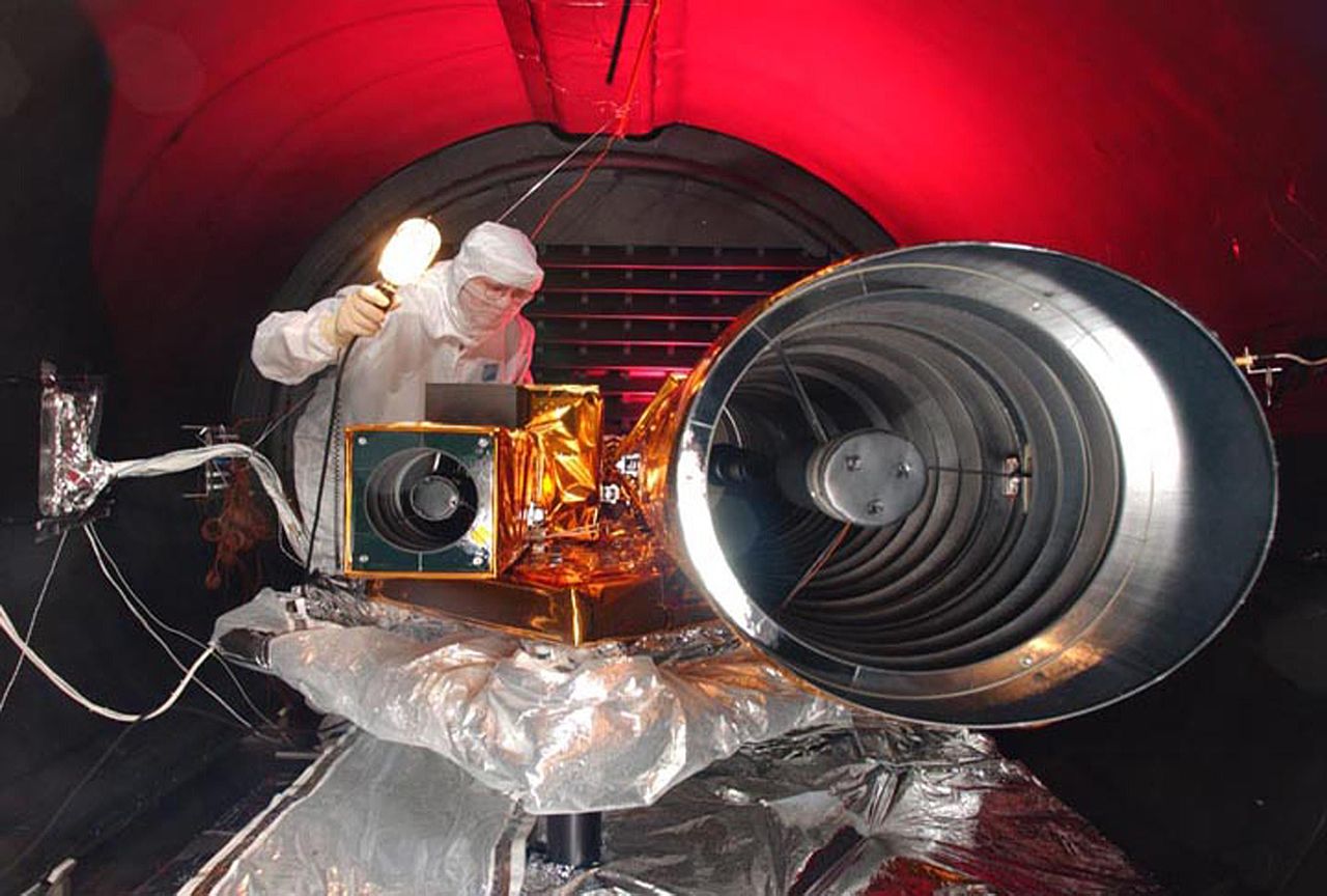
Berkas:Deep Impact HRI tests.jpg

Ukuran pratayang ini: 800 × 540 piksel. Resolusi lainnya: 320 × 216 piksel | 640 × 432 piksel | 1.024 × 691 piksel | 1.280 × 864 piksel | 3.000 × 2.025 piksel.
Ukuran asli (3.000 × 2.025 piksel, ukuran berkas: 370 KB, tipe MIME: image/jpeg)
| Deskripsi |
|
| Tanggal | before 10 Januari 2005 |
| Sumber | |
| Pembuat | NASA |
Gambar atau video ini telah dikatalogkan oleh Pusat Antariksa Kennedy milik National Aeronautics and Space Administration (NASA)dibawah ID Foto: KSC-05PD-0115 AND ID Alternatif: 05pd0115. Label ini tidak menunjukkan status hak cipta dari berkas. Label hak cipta yang biasa tetap dibutuhkan. Lihat Commons:Lisensi. Bahasa lain:
|
| Lokasi kamera | | Lihat gambar ini dan gambar di sekitarnya di: OpenStreetMap |
|---|
| Berkas ini berada dalam domain publik di Amerika Serikat karena semata-mata diciptakan oleh NASA. Kebijakan hak cipta NASA menyatakan bahwa "materi NASA tidak dilindungi oleh hak cipta kecuali dicatat". (Lihat Template:PD-USGov, Halaman kebijakan hak cipta NASA atau JPL Image Use Policy.) | ||
 |
Peringatan:
|
Riwayat berkas
Klik pada tanggal/waktu untuk melihat berkas ini pada saat tersebut.
| Tanggal/Waktu | Miniatur | Dimensi | Pengguna | Komentar | |
|---|---|---|---|---|---|
| terkini | 9 Juli 2005 22.09 | | 3.000 × 2.025 (370 KB) | Bricktop |
Penggunaan berkas
Halaman berikut menggunakan berkas ini:
Penggunaan berkas global
Wiki lain berikut menggunakan berkas ini:
- Penggunaan pada de.wikipedia.org
- Penggunaan pada en.wikipedia.org
- Penggunaan pada pl.wikipedia.org
- Penggunaan pada sk.wikipedia.org
- Penggunaan pada sv.wikipedia.org
- Penggunaan pada tr.wikipedia.org
- Penggunaan pada zh.wikipedia.org