Berkas:South Sudan - Location Map (2012) - SSD - UNOCHA.svg

Ukuran asli (Berkas SVG, secara nominal 254 × 254 piksel, besar berkas: 456 KB)
Ringkasan
| Deskripsi |
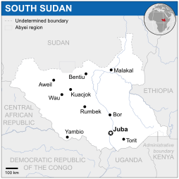
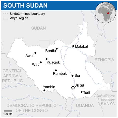
English: Locator map of South Sudan. |
|||||
| Tanggal | ||||||
| Sumber |
English: South Sudan Locator Map (ReliefWeb) |
|||||
| Pembuat | ||||||
| SVG genesis | Gambar vektor ini dibuat menggunakan Adobe Illustrator
|


_-_SSD_-_UNOCHA.svg)
Lisensi
- Anda diizinkan:
- untuk berbagi – untuk menyalin, mendistribusikan dan memindahkan karya ini
- untuk menggubah – untuk mengadaptasi karya ini
- Berdasarkan ketentuan berikut:
- atribusi – Anda harus mencantumkan atribusi yang sesuai, memberikan pranala ke lisensi, dan memberi tahu bila ada perubahan. Anda dapat melakukannya melalui cara yang Anda inginkan, namun tidak menyatakan bahwa pemberi lisensi mendukung Anda atau penggunaan Anda.
 This map is part of a collection of 216 free country maps, created by the UN Office for the Coordination of Humanitarian Affairs (OCHA), to be used in print, web or broadcast products.
The ReliefWeb Location Maps released here are maps that highlight a country, its capital, major populated places and the surrounding regions. Attribution Requirements
Using the map without modifications: ensure that the sources and the disclaimer are below the map. Credit as follows: "Credit: OCHA". For use with alteration: remove the OCHA logo and disclaimer following any modification to the map, but keep the data sources as mentioned below the map. Credit the modified map as follows: "Based on OCHA map". You are responsible for the content of your map. We are keen to receive your feedback and hear how you used OCHA's maps. We would be grateful if you would notify us by e-mail and share your work with us. UN Disclaimer
The designations employed and the presentation of material of this map do not imply the expression of any opinion whatsoever on the part of the Secretariat of the United Nations concerning the legal status of any country, territory, city or area or of its authorities or concerning the delimitation of its frontiers or boundaries. |
Riwayat berkas
Klik pada tanggal/waktu untuk melihat berkas ini pada saat tersebut.
| Tanggal/Waktu | Miniatur | Dimensi | Pengguna | Komentar | |
|---|---|---|---|---|---|
| terkini | 18 November 2014 03.38 | | 254 × 254 (456 KB) | Pharos | try without logo for now |
| 8 Mei 2014 01.14 |  | 254 × 254 (374 KB) | UN OCHA maps bot | == {{int:filedesc}} == {{Information |description={{en|1=Locator map of South Sudan.}} |date=2012 |source={{en|1=[http://reliefweb.int/map/south-sudan-republic/south-sudan-location-map-2012 South Sudan Locator Map (ReliefWeb)]}} |a... |
Penggunaan berkas
2 halaman berikut menggunakan berkas ini:
Penggunaan berkas global
Wiki lain berikut menggunakan berkas ini:
- Penggunaan pada bh.wikipedia.org
- Penggunaan pada eu.wikipedia.org
- Penggunaan pada hu.wikipedia.org
- Penggunaan pada pl.wikipedia.org
- Penggunaan pada scn.wikipedia.org
- Penggunaan pada sco.wikipedia.org
- Penggunaan pada simple.wikipedia.org
- Penggunaan pada st.wikipedia.org
- Penggunaan pada trv.wikipedia.org
- Penggunaan pada uk.wikipedia.org
- Penggunaan pada zh.wikipedia.org
_-_SSD_-_UNOCHA.svg)