Berkas:Map spb 1744 high.jpg
Ukuran pratayang ini: 800 × 552 piksel. Resolusi lainnya: 320 × 221 piksel | 640 × 441 piksel | 1.024 × 706 piksel | 1.280 × 883 piksel | 2.100 × 1.448 piksel.
Ukuran asli (2.100 × 1.448 piksel, ukuran berkas: 741 KB, tipe MIME: image/jpeg)
Ringkasan
| Deskripsi |
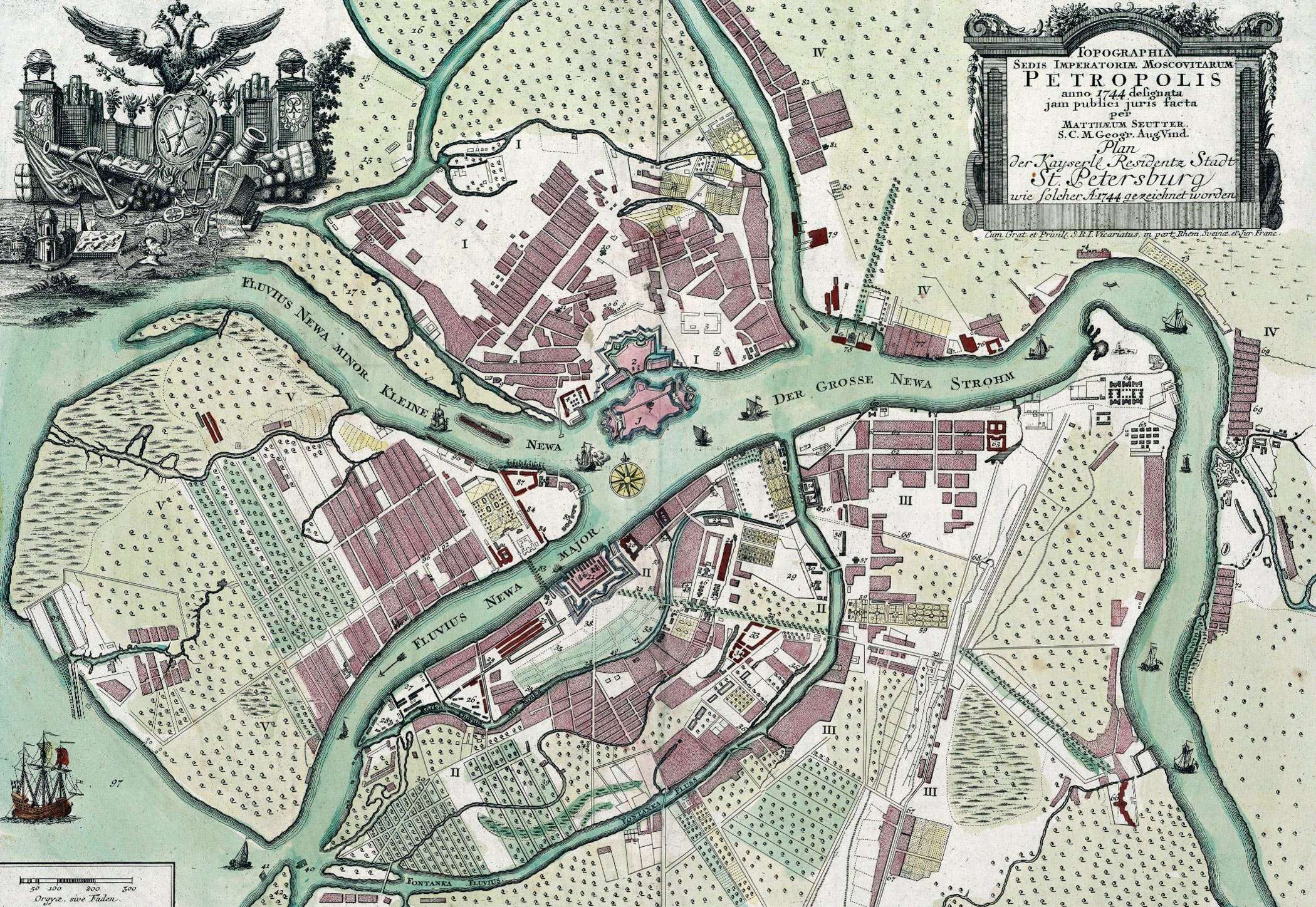
English: Map of St. Petersburg compiled, in 1744, by Matthias Souter Русский: Карта Санкт-Петербурга составленная в 1744 г. Маттиас Сойтер |
| Tanggal | |
| Sumber | http://www.spbin.ru/maps/map_stoyter_1744.htm |
| Pembuat | Маттиас Сойтер |
Lisensi
|
This work is in the public domain in its country of origin and other countries and areas where the copyright term is the author's life plus 100 years or fewer. | |
| Berkas ini telah diidentifikasi bebas dari pembatasan menurut hukum hak cipta termasuk semua hak terkait dan relevan. | |
Riwayat berkas
Klik pada tanggal/waktu untuk melihat berkas ini pada saat tersebut.
| Tanggal/Waktu | Miniatur | Dimensi | Pengguna | Komentar | |
|---|---|---|---|---|---|
| terkini | 25 Mei 2010 07.47 | | 2.100 × 1.448 (741 KB) | Peterburg23 | == Summary == {{Information |Description=Карта Санкт-Петербурга составленная в 1744 г. Маттиас Сойтер |Source=http://www.spbin.ru/maps/map_stoyter_1744.htm |Date=1744 |Author=Маттиас Сойтер |Perm |
Penggunaan berkas
Halaman berikut menggunakan berkas ini:
Penggunaan berkas global
Wiki lain berikut menggunakan berkas ini:
- Penggunaan pada azb.wikipedia.org
- Penggunaan pada en.wikipedia.org
- Penggunaan pada gl.wikipedia.org
- Penggunaan pada io.wikipedia.org
- Penggunaan pada mt.wikipedia.org
- Penggunaan pada pl.wikipedia.org
- Penggunaan pada sl.wikipedia.org
- Penggunaan pada ta.wikipedia.org
- Penggunaan pada te.wikipedia.org
- Penggunaan pada zh.wikipedia.org