Berkas:Kazakhstan adm location map.svg

Ukuran asli (Berkas SVG, secara nominal 1.984 × 1.134 piksel, besar berkas: 562 KB)
Ringkasan
| Deskripsi |
Deutsch: Positionskarte von Kasachstan
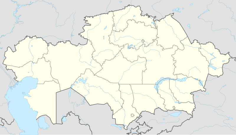
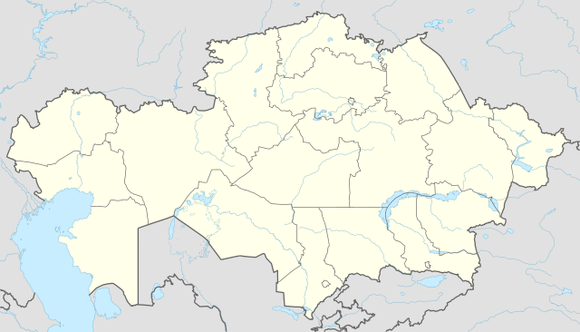
English: Location map of Kazakhstan
|
||||||||||||
| Tanggal | |||||||||||||
| Sumber |
Own work using:
|
||||||||||||
| Pembuat | NordNordWest | ||||||||||||
| Versi lainnya |
|
||||||||||||
_location_map.svg)

|
This map has been made or improved in the German Kartenwerkstatt (Map Lab). You can propose maps to improve as well.
|
Lisensi
Usage of this file with:

explanatory notes: Legally binding is only the full legalcode. For a free usage I recommend to respect the following licence conditions:
1. Provide my name as given above: NordNordWest,
2. a copy of, or the URI for, the applicable license: https://creativecommons.org/licenses/by-sa/3.0/de/legalcode,
3. the title of the work,
4. in the case of an adaptation, a credit identifying the use of the work in the adaptation.
This license and the rights granted hereunder will terminate automatically upon any breach by you of the terms of this license. Any of the above conditions can be waived if you get permission from the copyright holder. If you have questions or wish differing conditions, please contact me through nnwest or my discussion page ![]() t-online.de
t-online.de
- Anda diizinkan:
- untuk berbagi – untuk menyalin, mendistribusikan dan memindahkan karya ini
- untuk menggubah – untuk mengadaptasi karya ini
- Berdasarkan ketentuan berikut:
- atribusi – Anda harus mencantumkan atribusi yang sesuai, memberikan pranala ke lisensi, dan memberi tahu bila ada perubahan. Anda dapat melakukannya melalui cara yang Anda inginkan, namun tidak menyatakan bahwa pemberi lisensi mendukung Anda atau penggunaan Anda.
- berbagi serupa – Apabila Anda menggubah, mengubah, atau membuat turunan dari materi ini, Anda harus menyebarluaskan kontribusi Anda di bawah lisensi yang sama seperti lisensi pada materi asli.

Riwayat berkas
Klik pada tanggal/waktu untuk melihat berkas ini pada saat tersebut.
| Tanggal/Waktu | Miniatur | Dimensi | Pengguna | Komentar | |
|---|---|---|---|---|---|
| terkini | 4 Oktober 2022 14.16 | | 1.984 × 1.134 (562 KB) | NordNordWest | upd 2022 |
| 21 Februari 2022 19.45 |  | 1.984 × 1.134 (554 KB) | NordNordWest | corr | |
| 25 Juni 2018 21.41 |  | 1.984 × 1.134 (619 KB) | NordNordWest | corr | |
| 26 September 2014 15.48 |  | 1.984 × 1.134 (618 KB) | NordNordWest | == {{int:filedesc}} == {{Information |Description= {{de|1=Positionskarte von Kasachstan}} {{en|1=Location map of Kazakhstan}} {{Location map series N |stretching=150 |top=56 |bottom=40 |left=46 |right=88 }} |Source={{Own using}} * United States Nationa... |
Penggunaan berkas
24 halaman berikut menggunakan berkas ini:
- Almaty
- Arkalyk
- Astana
- Balkhash (kota)
- Bandar Udara Atyrau
- Bandar Udara Internasional Almaty
- Bandar Udara Internasional Nursultan Nazarbayev
- Bandar Udara Internasional Shymkent
- Bandar Udara Oral Ak Zhol
- Bandar Udara Zhezkazgan
- Daftar klub sepak bola divisi tertinggi di negara anggota UEFA
- Gerbang Dzungaria
- Kentau
- Mausoleum Khoja Ahmed Yasawi
- Menara Almaty
- Menara Baiterek
- Ngarai Charyn
- Petropavl
- Qızılorda
- SCAT Airlines Penerbangan 760
- Semey
- Taldykorgan
- Terra-3
- Templat:Location map Kazakhstan
Penggunaan berkas global
Wiki lain berikut menggunakan berkas ini:
- Penggunaan pada af.wikipedia.org
- Penggunaan pada an.wikipedia.org
- Penggunaan pada ar.wikipedia.org
- Penggunaan pada ast.wikipedia.org
- Penggunaan pada azb.wikipedia.org
- Penggunaan pada az.wikipedia.org
Lihat lebih banyak penggunaan global dari berkas ini.