Berkas:Great Britain 1789.svg

Ukuran pratayang PNG ini dari berkas SVG ini: 450 × 456 piksel Resolusi lainnya: 237 × 240 piksel | 474 × 480 piksel | 758 × 768 piksel | 1.011 × 1.024 piksel | 2.021 × 2.048 piksel.
Ukuran asli (Berkas SVG, secara nominal 450 × 456 piksel, besar berkas: 848 KB)
Ringkasan


.svg)
.svg)
.svg)
.svg)
.svg)


.svg)
.svg)
.svg)


.png)
.png)


.svg)


.svg)

.svg)


.svg)
.svg)
.svg)
.svg)


.svg)
.png)


.svg)


.svg)
.svg)


.svg)


.svg)


.svg)
.svg)
.svg)
.svg)
.svg)
.svg)
.svg)
_cropped.svg)
.svg)
.svg)
.svg)
.svg)
.svg)
.svg)
.svg)
.svg)
.svg)
.svg)
.svg)
.svg)
.svg)
.svg)
.svg)
.svg)
.svg)
.svg)
.svg)
.svg)
.svg)
.svg)
.svg)
.svg)
.svg)
.svg)
.svg)
.svg)
.svg)
.svg)
.svg)
.svg)
.svg)
.svg)
.svg)
.svg)
.svg)
.svg)
.svg)
.svg)
.svg)
.svg)
.svg)
.svg)
.svg)
Lisensi
Saya, pemilik hak cipta dari karya ini, dengan ini menerbitkan berkas ini di bawah ketentuan berikut:
Berkas ini dilisensikan dengan lisensi Creative Commons Atribusi-BerbagiSerupa 3.0 Tanpa Adaptasi
- Anda diizinkan:
- untuk berbagi – untuk menyalin, mendistribusikan dan memindahkan karya ini
- untuk menggubah – untuk mengadaptasi karya ini
- Berdasarkan ketentuan berikut:
- atribusi – Anda harus mencantumkan atribusi yang sesuai, memberikan pranala ke lisensi, dan memberi tahu bila ada perubahan. Anda dapat melakukannya melalui cara yang Anda inginkan, namun tidak menyatakan bahwa pemberi lisensi mendukung Anda atau penggunaan Anda.
- berbagi serupa – Apabila Anda menggubah, mengubah, atau membuat turunan dari materi ini, Anda harus menyebarluaskan kontribusi Anda di bawah lisensi yang sama seperti lisensi pada materi asli.
Log pengunggahan asli
This image is a derivative work of the following images:
- File:Europe_1789.svg licensed with Cc-by-sa-3.0
- 2013-04-14T03:44:26Z Alphathon 450x456 (858577 Bytes) Corrected some errors in northern Italy
- 2013-04-14T01:38:01Z Alphathon 450x456 (853881 Bytes) tweaked again
- 2013-04-14T01:36:10Z Alphathon 450x456 (853881 Bytes) Tweaked Holy Roman Empire border style
- 2013-04-14T01:33:26Z Alphathon 450x456 (853857 Bytes) == {{int:filedesc}} == {{Information |Description={{en|A blank Map of Europe circa 1789. This map also includes a border for the [[:en:Holy Roman Empire|Holy Roman Empire]]. Since there are so many small German states, they h
Uploaded with derivativeFX
Riwayat berkas
Klik pada tanggal/waktu untuk melihat berkas ini pada saat tersebut.
| Tanggal/Waktu | Miniatur | Dimensi | Pengguna | Komentar | |
|---|---|---|---|---|---|
| terkini | 19 Desember 2023 16.42 | | 450 × 456 (848 KB) | Iktsokh | Cyprus paler grey |
| 26 Mei 2022 11.17 |  | 450 × 456 (846 KB) | Cyygma | Changing pale green to light green (more visible) | |
| 17 Oktober 2021 08.08 |  | 450 × 456 (846 KB) | Fenn-O-maniC | Fixed the Russo-Swedish border to match the Treaty of Åbo of 1743 | |
| 5 September 2017 16.20 |  | 450 × 456 (857 KB) | Alphathon | Danzig | |
| 5 September 2017 15.55 |  | 450 × 456 (840 KB) | Alphathon | Added Brunswick-Lüneburg to British domains as it was rules in a personal union | |
| 5 September 2017 15.45 |  | 450 × 456 (840 KB) | Alphathon | Made Asia paler grey | |
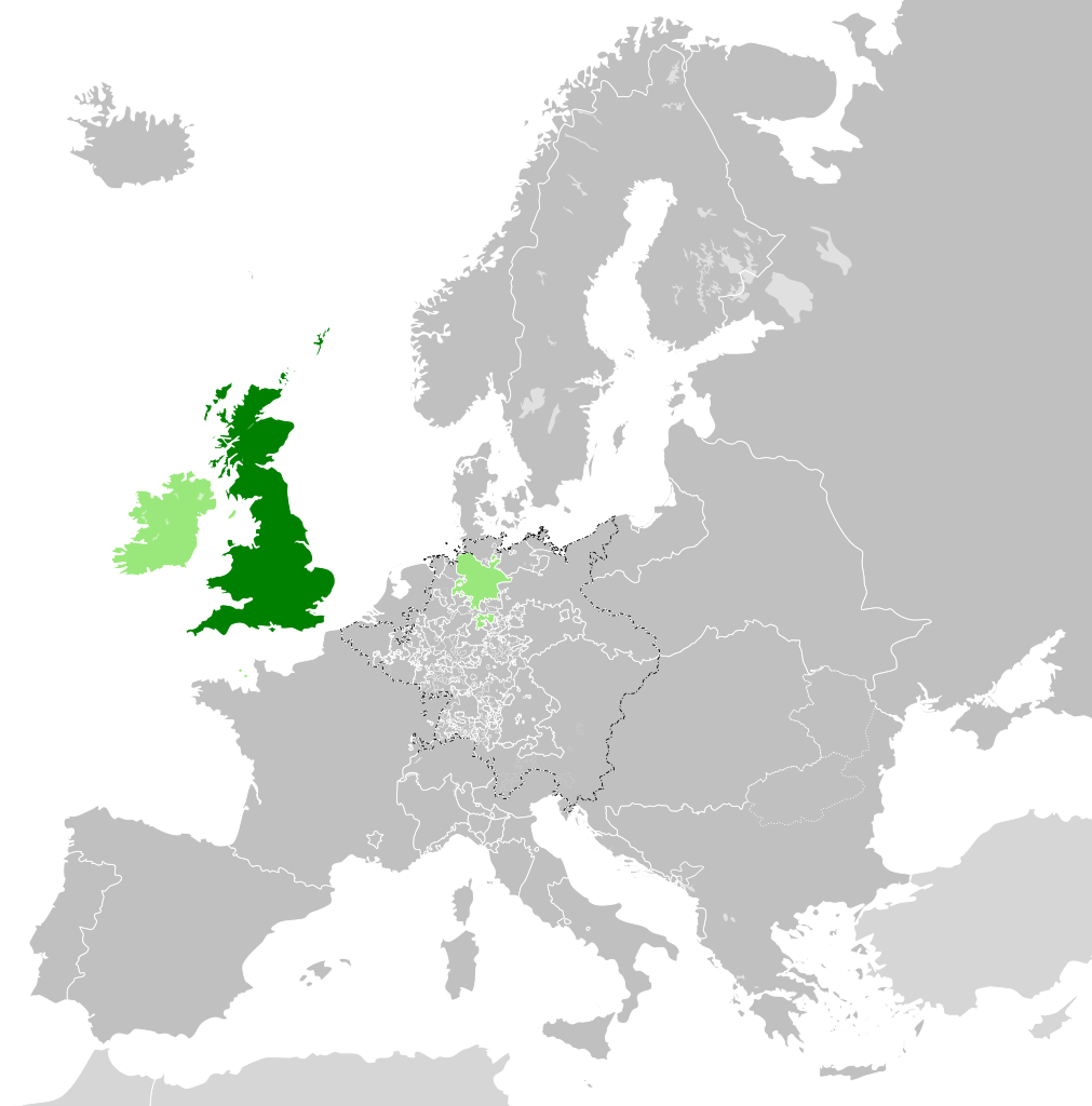
| 5 September 2017 15.34 |  | 450 × 456 (840 KB) | Alphathon | == {{int:filedesc}} == {{Information |Description={{en|A map of the en:Kingdom of Great Britain circa 1789. Other British-held territories (Ireland, Mann, Channel Islands) are also shown in pale green.}}{{de|Eine Karte des [[:de:Königreich Groß... |
Penggunaan berkas
Halaman berikut menggunakan berkas ini:
Penggunaan berkas global
Wiki lain berikut menggunakan berkas ini:
- Penggunaan pada azb.wikipedia.org
- Penggunaan pada bn.wikipedia.org
- Penggunaan pada cs.wikipedia.org
- Penggunaan pada da.wikipedia.org
- Penggunaan pada de.wikipedia.org
- Penggunaan pada el.wikipedia.org
- Penggunaan pada en.wikipedia.org
- Penggunaan pada es.wikipedia.org
- Penggunaan pada eu.wikipedia.org
- Penggunaan pada fi.wikipedia.org
- Penggunaan pada fr.wikipedia.org
- Penggunaan pada fy.wikipedia.org
- Penggunaan pada gv.wikipedia.org
- Penggunaan pada he.wikipedia.org
- Penggunaan pada it.wikipedia.org
- Penggunaan pada ja.wikipedia.org
- Penggunaan pada ko.wikipedia.org
- Penggunaan pada lo.wikipedia.org
- Penggunaan pada lv.wikipedia.org
- Penggunaan pada pt.wikipedia.org
- Penggunaan pada sco.wikipedia.org
- Penggunaan pada sk.wikipedia.org
- Penggunaan pada sl.wikipedia.org
- Penggunaan pada sq.wikipedia.org
- Penggunaan pada th.wikipedia.org
- Penggunaan pada tr.wikipedia.org
- Penggunaan pada vi.wikipedia.org
- Penggunaan pada xmf.wikipedia.org
- Penggunaan pada zh.wikipedia.org