Berkas:Millennium Island, Kiribati.jpg
Ukuran asli (2.832 × 4.256 piksel, ukuran berkas: 6,48 MB, tipe MIME: image/jpeg)
Ringkasan
| Deskripsi |
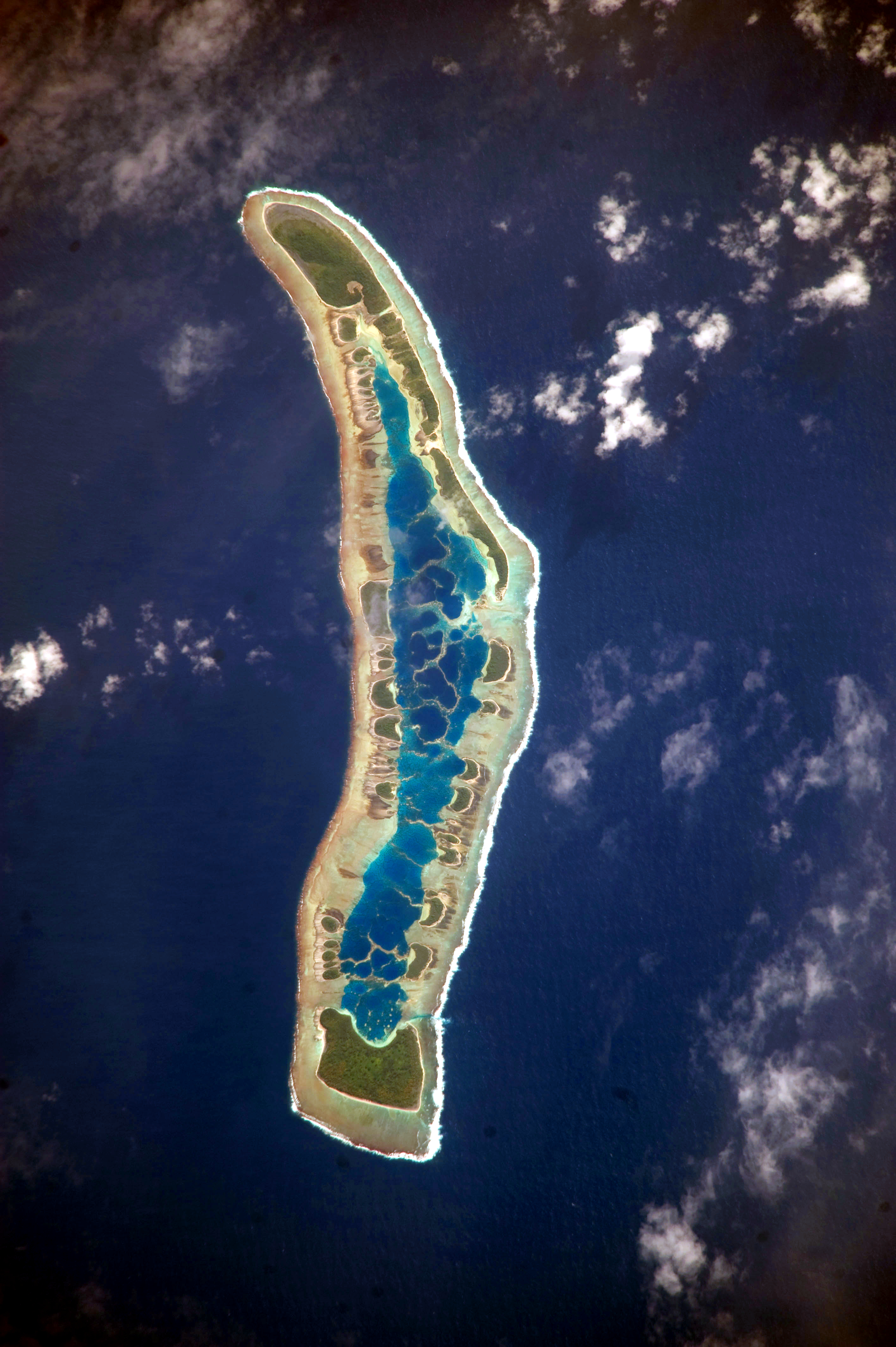
English: The islets of Millennium Island are readily visible in this astronaut photograph as irregular green vegetated areas surrounding the inner lagoon. The shallow lagoon waters are a lighter blue than the deeper surrounding ocean water; tan linear “fingers” within the lagoon are the tops of corals. The two largest islets are Nake Islet and South Islet, located at the north and south ends of Millennium Island respectively.
Français : Vue satellite de l'île du Millénaire dans les Kiribati, où l'on peut distinguer ses différents îlots, son lagon intérieur où des couleurs plus claires indiquent une profondeur plus faible ainsi que sa végétation dense sur certains îlots.
|
||||||||||||||||||||||||||||||||||||||||||||||||||||||
| Tanggal | |||||||||||||||||||||||||||||||||||||||||||||||||||||||
| Sumber | NASA Earth Observatory | ||||||||||||||||||||||||||||||||||||||||||||||||||||||
| Pembuat | Image taken by the NASA Expedition 20 crew | ||||||||||||||||||||||||||||||||||||||||||||||||||||||
| Lokasi kamera | | Lihat gambar ini dan gambar di sekitarnya di: OpenStreetMap |
|---|
Gambar atau video ini telah dikatalogkan oleh Pusat Antariksa Johnson milik National Aeronautics and Space Administration (NASA)dibawah ID Foto: ISS020-E-16279. Label ini tidak menunjukkan status hak cipta dari berkas. Label hak cipta yang biasa tetap dibutuhkan. Lihat Commons:Lisensi. Bahasa lain:
|
This image was acquired with a Nikon D3 digital camera fitted with an 800 mm lens, and is provided by the ISS Crew Earth Observations experiment and Image Science & Analysis Laboratory, Johnson Space Center. Instrument: ISS - Digital Camera
Lisensi
| Berkas ini berada dalam domain publik di Amerika Serikat karena semata-mata diciptakan oleh NASA. Kebijakan hak cipta NASA menyatakan bahwa "materi NASA tidak dilindungi oleh hak cipta kecuali dicatat". (Lihat Template:PD-USGov, Halaman kebijakan hak cipta NASA atau JPL Image Use Policy.) | ||
 |
Peringatan:
|
Riwayat berkas
Klik pada tanggal/waktu untuk melihat berkas ini pada saat tersebut.
| Tanggal/Waktu | Miniatur | Dimensi | Pengguna | Komentar | |
|---|---|---|---|---|---|
| terkini | 13 Juni 2017 12.04 | | 2.832 × 4.256 (6,48 MB) | SteinsplitterBot | Bot: Image rotated by 90° |
| 5 Oktober 2010 09.34 |  | 4.256 × 2.832 (6,47 MB) | Originalwana | higher res | |
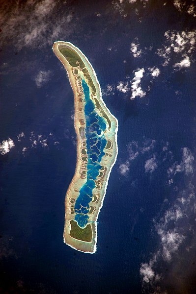
| 13 Juli 2009 09.56 |  | 1.000 × 624 (486 KB) | Originalwana | {{Information |Description={{en|1=The islets of Millennium Island are readily visible in this astronaut photograph as irregular green vegetated areas surrounding the inner lagoon. The shallow lagoon waters are a lighter blue than the deeper surrounding oc |
Penggunaan berkas
Halaman berikut menggunakan berkas ini:
Penggunaan berkas global
Wiki lain berikut menggunakan berkas ini:
- Penggunaan pada ar.wikipedia.org
- Penggunaan pada be.wikipedia.org
- Penggunaan pada ca.wikipedia.org
- Penggunaan pada en.wikipedia.org
- Penggunaan pada et.wikipedia.org
- Penggunaan pada fr.wikipedia.org
- Penggunaan pada hr.wikipedia.org
- Penggunaan pada pl.wikipedia.org
- Penggunaan pada pt.wikipedia.org
- Penggunaan pada ru.wikipedia.org
- Penggunaan pada th.wikipedia.org
- Penggunaan pada tr.wikipedia.org
- Penggunaan pada vi.wikipedia.org